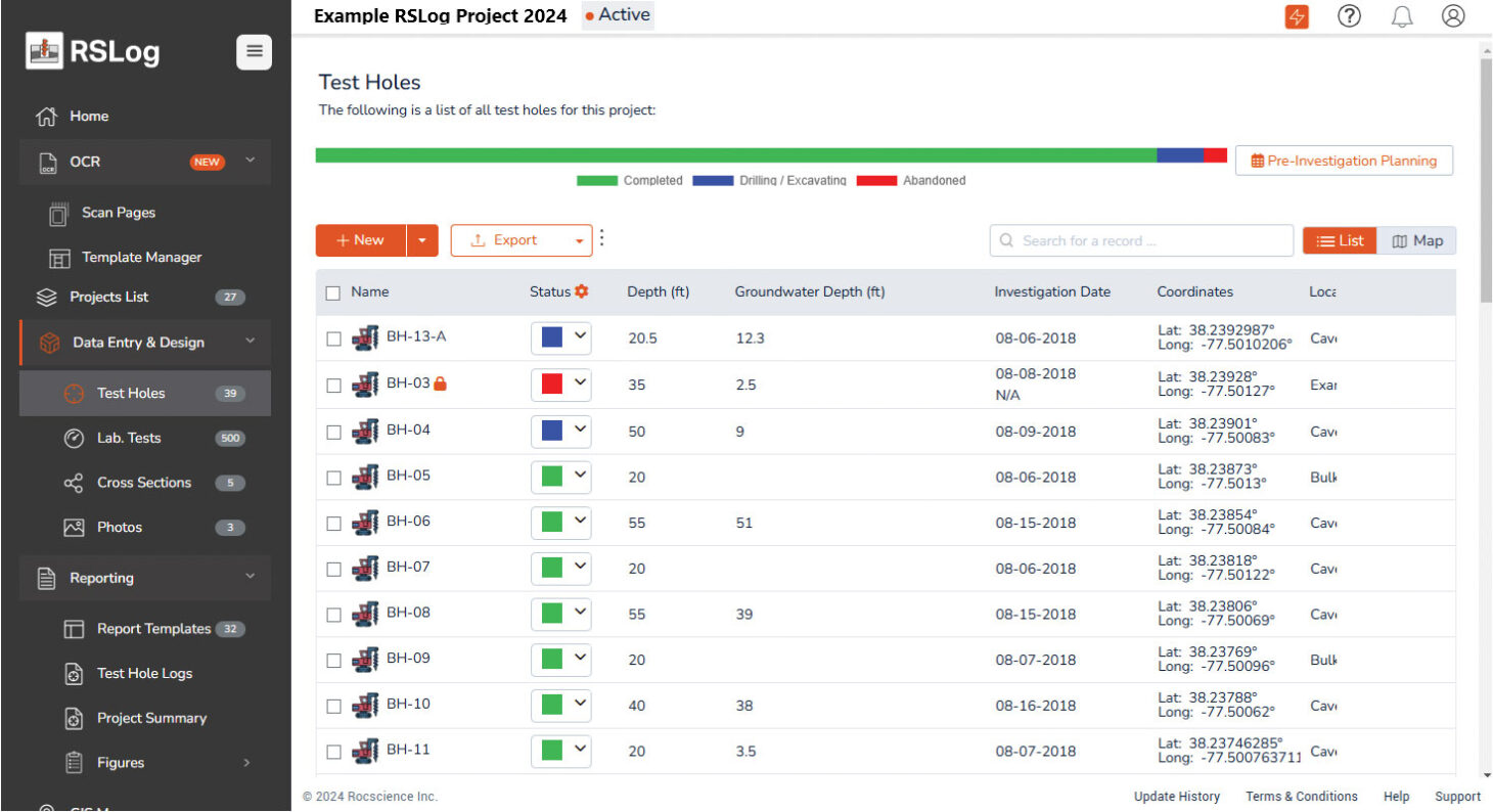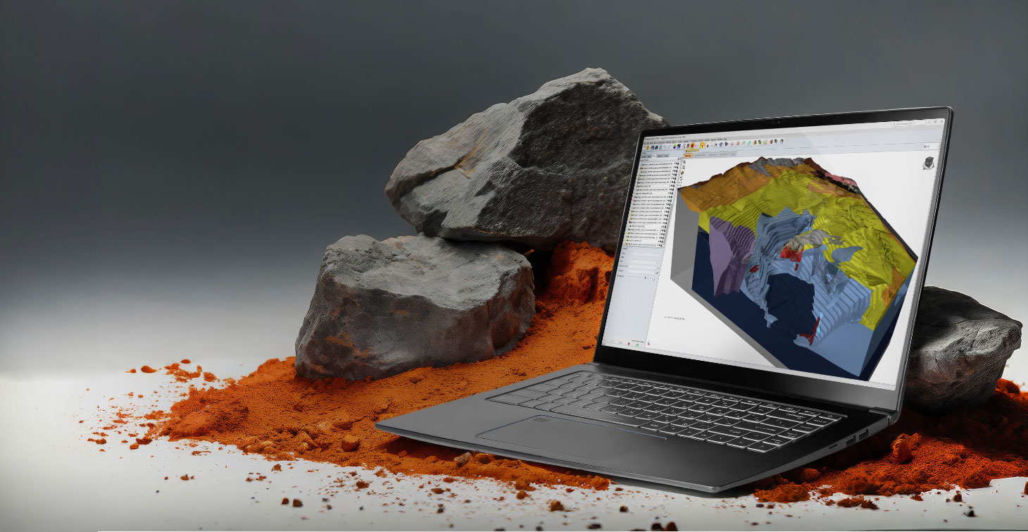
The initial step in designing deep foundations usually is to collect subsurface soil conditions to assist geotechnical engineers in estimating pile lengths, capacity and the types of piles best suited for a project. This borehole data is critical to pile design, which led Rocscience to create RSLog, a centralized database that improves team collaboration.
Alireza Afkhami, senior manager of web applications at Rocscience, says this new software fundamentally changes how teams collaborate and access borehole data. Since data collection and analysis can be a fragmented process, often resulting in delays and inconsistencies, RSLog can help make this process more cohesive and streamlined.
“During the site investigation phase, multiple field engineers contribute to data collection,” said Afkhami. “All this data flows into a centralized database, which means that other team members – project managers, senior engineers and clients – have immediate access to the subsurface data and test results. This real-time data accessibility enhances transparency and speeds up decision-making processes.”
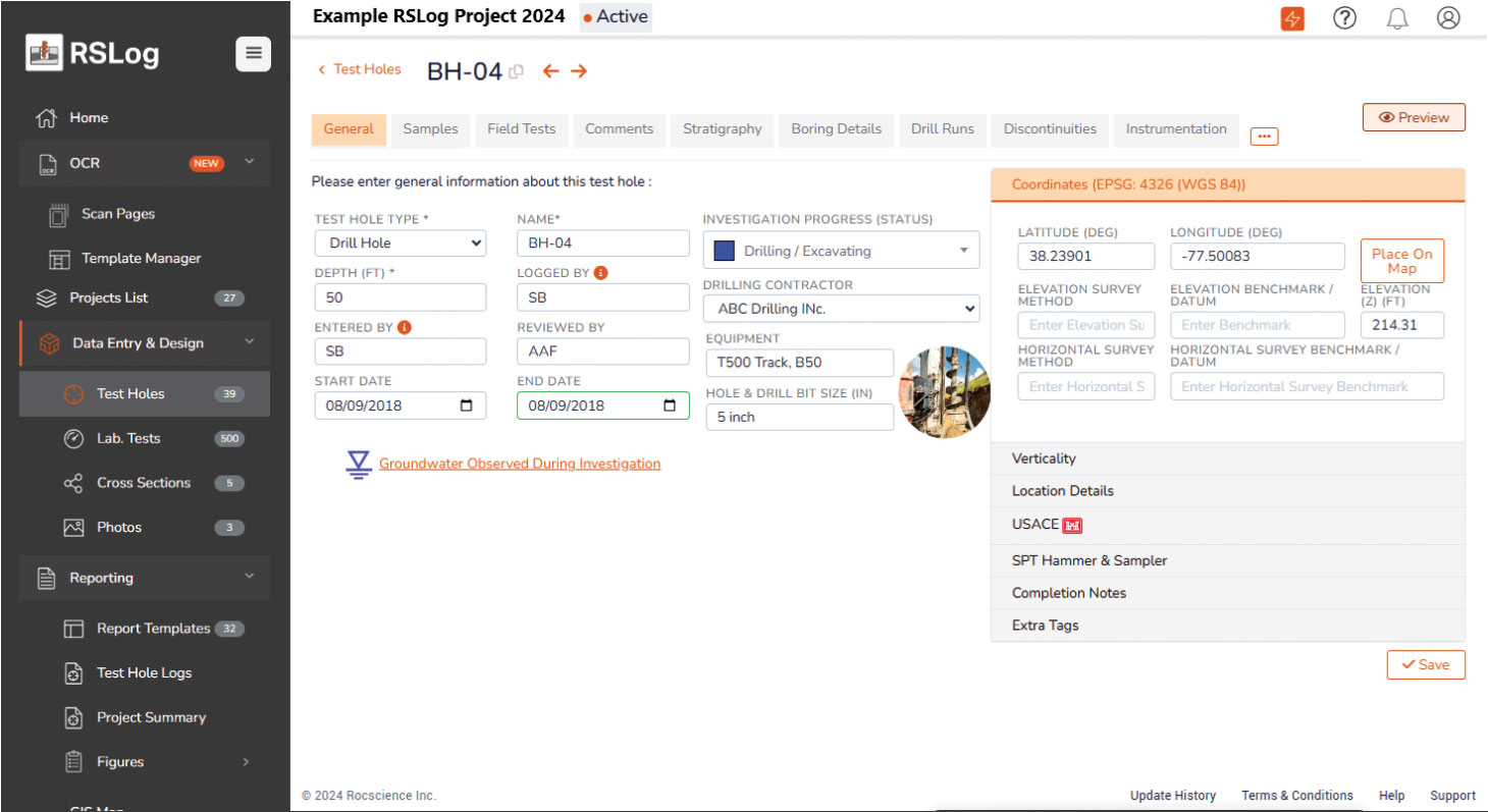
Data sharing is another key benefit of RSLog’s centralized platform. Once borehole data is entered into RSLog, stakeholders can easily access and review the data. For example, clients can monitor site investigation progress, and piling contractors can assess boreholes to infer minimum pile lengths required for their cost estimates.
In design-build projects, the owner’s geotechnical engineer can directly share data with the design-build contractor’s engineer, facilitating seamless integration of data into the design process. “In RSLog, this can be achieved by viewer users or through project transfer, making data sharing straightforward and efficient,” Afkhami said.
Traditional methods of borehole data collection often involve a cumbersome two-step process: recording data in a field notebook and then transferring it to borehole logging software. This can be time-consuming and prone to errors. RSLog simplifies this with its integrated field data collection app, OnSite.
“OnSite eliminates the need for this two-phased data entry. Instead, data is entered directly into the app during the site investigation,” Afkhami said. “This integration not only saves time, but also reduces costs.” For typical civil projects, the data entry phase can take 30 to 60 minutes per borehole. With OnSite, this process is streamlined, potentially saving hundreds to thousands of dollars per project.
Streamlining the process
Once data is collected, RSLog’s Review and Commenting features further streamline the process. Project managers can use these tools to finalize borehole logs, ensuring that all data is accurate and up-to-date before it is used in subsurface modelling and pile design.
Deep foundation projects often involve complex subsurface conditions that require precise and reliable data. RSLog addresses these challenges with several key features designed to ensure data accuracy. The Cross-Section Designer feature, for example, allows geotechnical consultants to create detailed cross-sections of the site. This tool helps identify problematic areas of the site and identify where supplementary site investigations are required.
“RSLog’s centralized GIS system allows users to view all borehole data on a single map, facilitating the identification of potential hazards based on historical data and previous project experience.”
Alireza Afkhami, Rocscience
“Once the cross-section design is completed, users can export the design to Civil3D and Autodesk DXF formats, facilitating integration with other software and construction documents,” Afkhami said.
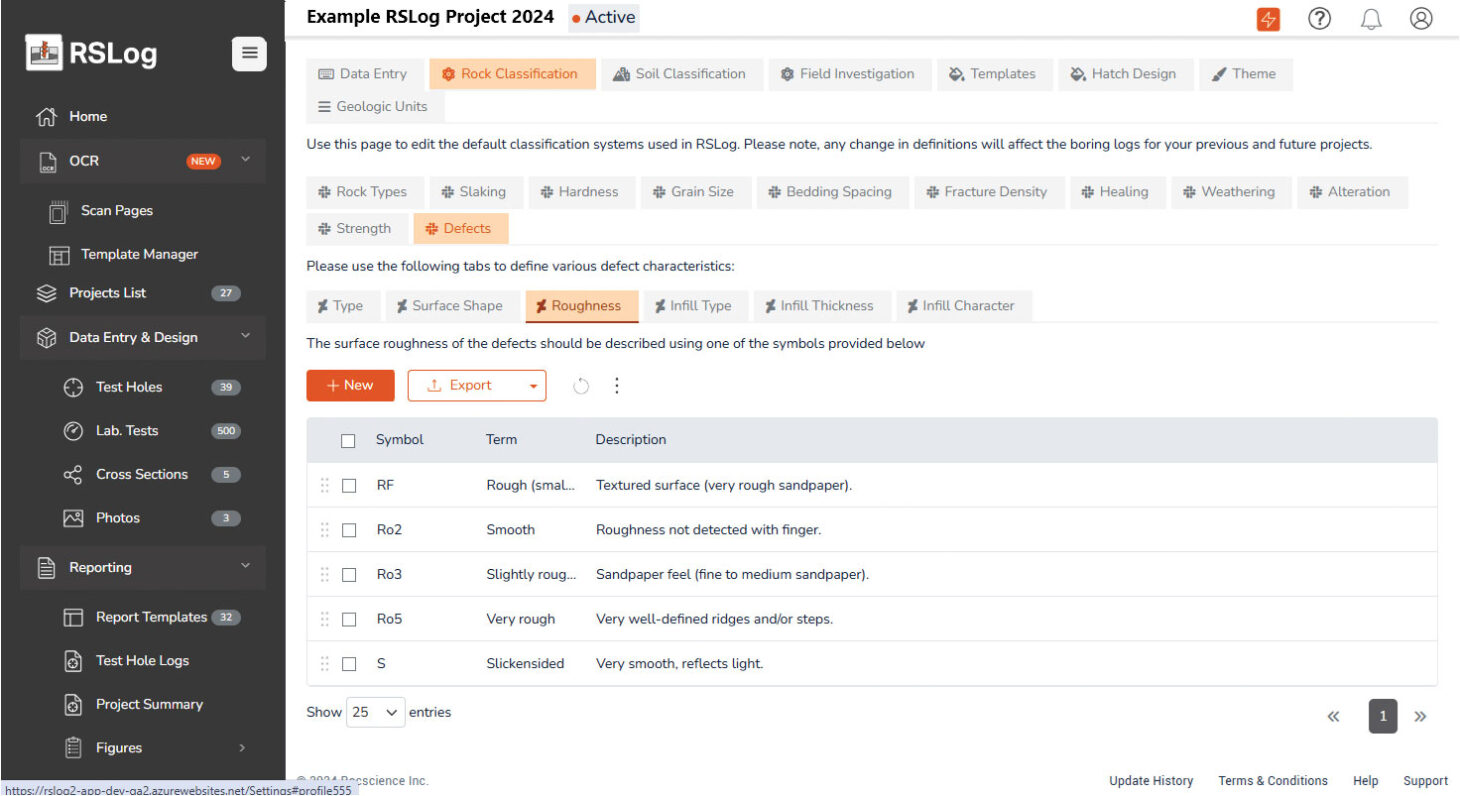
RSLog also incorporates several error prevention features. Validation checks ensure that data entered into the system meets pre-defined criteria. Cross-checking capabilities allow users to identify conflicts between field and lab data. Review features also enable users to add comments and track changes, while data locking prevents unauthorized modifications once borehole logs are approved. Due to the variety of soil and rock types encountered in deep foundation projects, presenting detailed stratigraphy in the borehole log may be challenging. To address this issue, RSLog offers a library of over 250 hatch patterns, which covers a wide range of soil and rock materials.
For even more customization, users can upload their own hatch patterns as PNG images. “This flexibility ensures that RSLog can accommodate the diverse range of materials encountered in different projects,” Afkhami said.

RSLog is designed to work seamlessly with other geotechnical software and tools. The system supports various export formats, including CSV, Excel, JSON, DXF and KML, easily integrating with other engineering programs. In addition, RSLog has also been integrated with Rocscience programs Slide2 and Settle3.
Accurate and up-to-date borehole data is crucial for ensuring environmental compliance and safety in deep foundation projects. RSLog’s centralized database facilitates the rapid dissemination of data to all project stakeholders. This ensures that everyone – from contractors to consultants – has access to the most current information, which is crucial for making informed decisions and promptly addressing potential issues.
Hazard identification
Early identification of geotechnical hazards can have a significant role in the success of a project. RSLog helps address these hazards by enabling users to review borehole data for signs of problematic conditions, such as high groundwater levels or contaminated soils. The integration with Rocscience’s Slide2 software for slope stability analysis also enables a smooth data exchange, saving time and improving accuracy.
“RSLog’s centralized GIS system allows users to view all borehole data on a single map, facilitating the identification of potential hazards based on historical data and previous project experience,” Afkhami said.
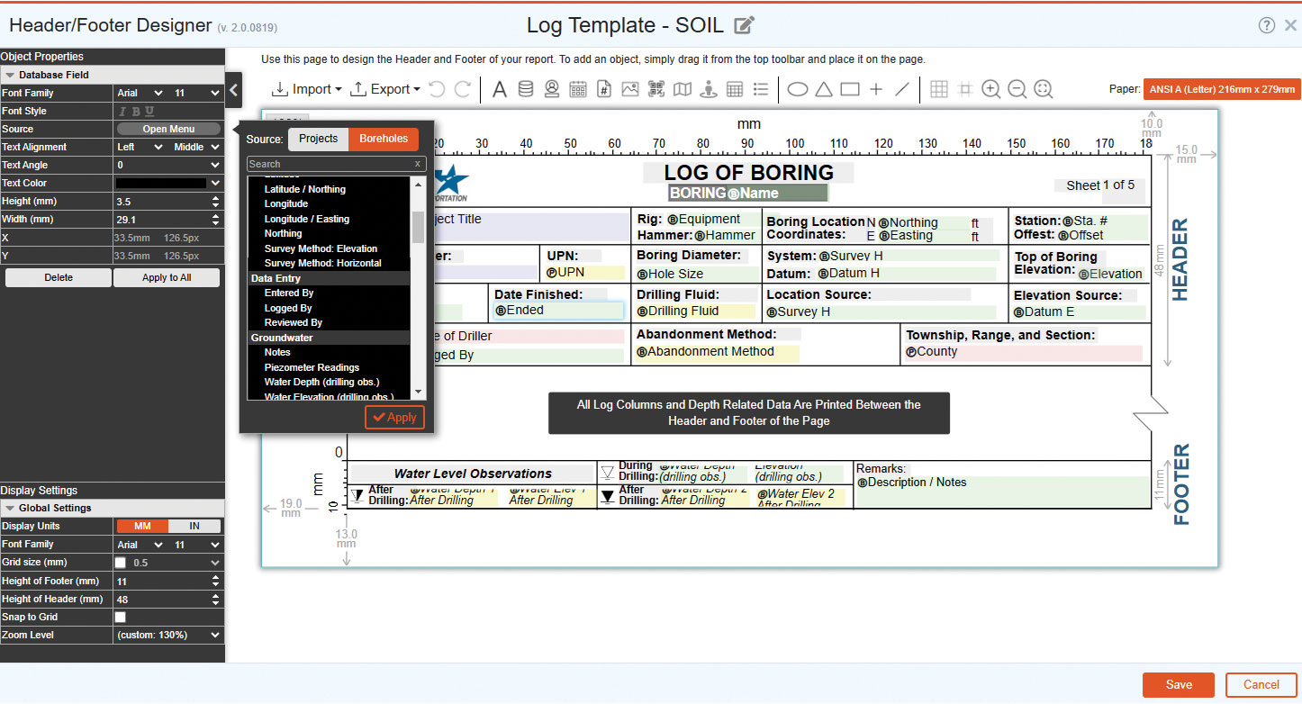
RSLog continues to evolve, with recent updates enhancing its functionality and user experience. New features include an Excel-like data entry interface, expanded hatch pattern library and support for additional languages. The addition of Optical Character Recognition allows for the digitization of historical paper borehole logs, making it easier to convert large volumes of data into structured records. “These updates reflect our commitment to improving RSLog based on user feedback and technological advancements,” Afkhami said.
RSLog is the latest in a series of software solutions created by Rocscience. Founded in 1996 and headquartered in Toronto, the company offers a comprehensive suite of software products designed to analyze soil and rock slopes, foundations, tunnels and other geological structures. These products are used by over 10,000 professional engineers in more than 120 countries.
