
The origin of tools began over 2.6 million years ago to help civilizations hunt and survive. In today’s world, the concept has not changed because we continue to use and develop tools to ensure we as a civilization continue to advance and survive.
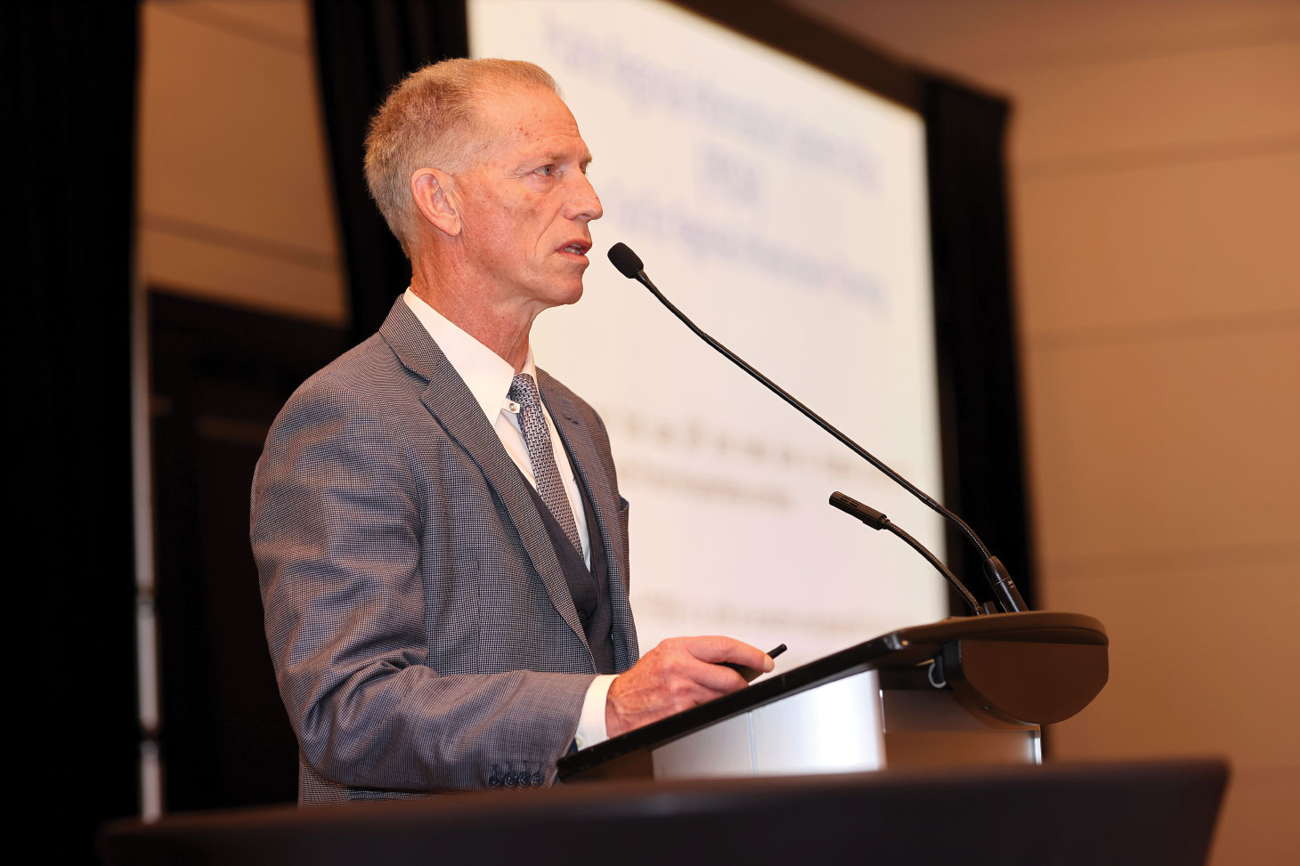
At the Saskatchewan Heavy Construction Association (SHCA)’s 2024 Infrastructure Summit and Trade Show in Regina last December, attendees heard from John Law about a new tool that could revolutionize the planning and future forecasting of where to build infrastructure next. Law is the president of Lawmark International, which he founded in 2012 to provide integrated business development, logistics and regulatory support services to his clients in Western Canada.
In his presentation, Law showed the concept of a mapping system called the Prairie Regional Information Systems Map (PRISM) that takes data from multiple sources and layers it to produce a tool that tracks the movement of commodities across Alberta, Saskatchewan and Manitoba. In co-ordination with the three Prairie province transportation agencies and ministries, Law was able to build PRISM in three months.
“The development, in partnership with them, used a lot of their data sources and this was purposeful,” said Law. “The intention was to help the three of them work closer together. So instead of having your own provincial transportation system, you’ve got the whole regional transportation system. Instead of having commodities for one province, using forestry as an example, you now have a shared interest in forestry improvements and movements.”

In co-ordination with the three Prairie province transportation agencies and ministries, Law was able to build PRISM in three months.
To develop PRISM, Law took the data provided to him from the various ministries and agencies, and began layering integrated gross domestic product and commodity flow information with geographic information system-layered transportation corridors. PRISM is a tool that will allow industry and government to determine where trade infrastructure is best served to deliver commodities to the customer. It is also a tool that will help them find prospective partners and stakeholders who will see the value to investing in the region.
Law indicated that PRISM for the three Prairie provinces can be expanded to other regions with the goal of applying it to a national plan. “The response is that this can serve as a bit of a demonstration; that this can serve as a demonstration of what we have been arguing for a long time, which is for a national strategy, a national plan,” said Law. “We did all of this in about three months. Three jurisdictions in three months. We could do the whole Maritimes in three months. The idea that we can start to move towards a national plan is one of the opportunities that the tool supports.”
Law used the Pembina-Emerson port in Manitoba as an example of how PRISM can be used to bring the federal government to the table to help with funding infrastructure projects that will improve our trade ability.
“The tool will show you that there is about $13 billion worth of products going through the Port of Emerson that originate in Manitoba, but about $9 billion are coming from Saskatchewan and Alberta,” said Law. “If I want to make an argument to Ottawa about the importance of the improvements to Emerson, I got all three provinces now with economic activity that I can point to with specific commodities and I can show which markets in the U.S. we are moving to.”
Although PRISM is still a concept and not a final product, it is yet another tool that has been developed which will help civilization survive and thrive.